Skip to content

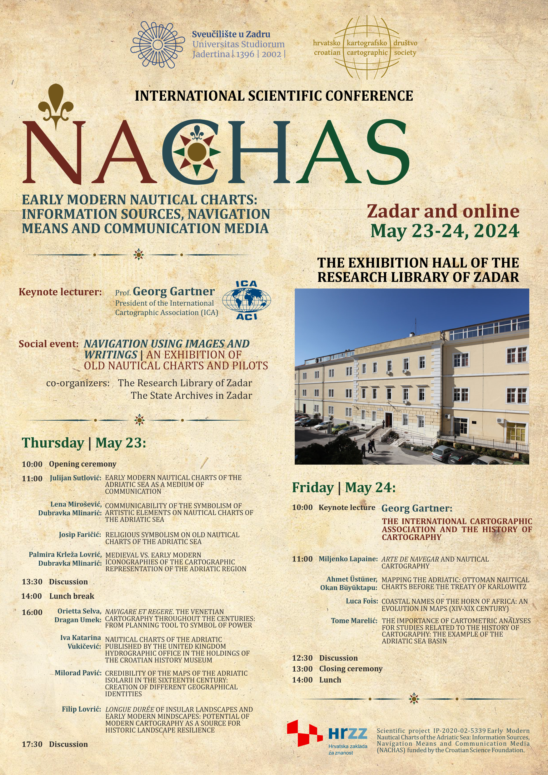
The conference will discuss early modern nautical charts as an important form of cartographic expression and as communication media focused on the sea areas, islands, and the mainland coast. The conference aims to bring together scholars from various fields related to the history of cartography and navigation to present their latest research achievements and discuss the scientific importance of their work.
PARTICIPATION FORMAT: in-person and online (Zoom) presentations
REGISTRATION FEE: conference participation is free of charge
OFFICIAL LANGUAGE: the official language of the conference is English
KEYNOTE SPEAKER: Professor Georg Gartner – TU Wien, President of the ICA (International Cartographic Association)
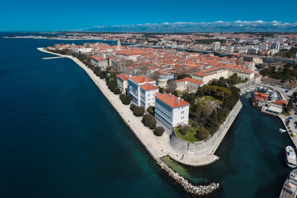
CONFERENCE VENUE: THE EXHIBITION HALL OF THE
RESEARCH LIBRARY OF ZADAR
SUBMISSION DATES: January 2 – February 28, 2024
NOTIFICATION OF ABSTRACT ACCEPTANCE: March 29, 2024
ABSTRACT REQUIREMENTS: abstracts should be no longer than 500 words, with a maximum of 5 keywords; titles should be no longer than 20 words; submissions must be in English
CONTACT INFORMATION: nachas.project@gmail.com